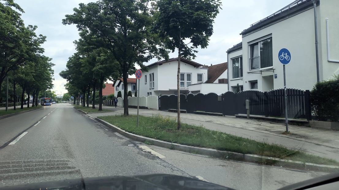
Prompt street level oriented imagery, to document your city, find your assets and monitor change


GeoXact is a Route Inventory System to collect, manage, analyze and share street-level oriented imagery, integrated with ArcGIS.


Make informed decisions using regularly collected street-level imagery, automatically captured as your routes are travelled. 

GeoDyn-Slogan

The world is rapidly changing and informed decisions are critical for safety, accessibility, and effective planning. Until now those decisions were based on hearsay, site visits, and consumer-grade imagery, often outdated and rarely suitable for municipal or commercial use. Traditional streel level mapping methods are costly, slow, and quickly obsolete. 

GeoDyn - What we do - Aerial Images Scanning Georeferencing

PromptScan M2 Panchromatic or Color film scanner

The GeoXact Solution

GeoXact solves the growing challenge of outdated large scale geospatial data by enabling you to efficiently and regularly capture, process, and integrate up-to-date street-level imagery into your applications and decision support systems. GeoXact ensures your teams have access to current street-level imagery and information for smart city management, infrastructure monitoring, transportation, insurance and emergency response.

Route Inventory System

GeoXact is a scalable route inventory system to help municipalities, utilities, insurers, and emergency responders document, map, and monitor dispersed assets over time. Unlike traditional mobile mapping systems that require costly hardware and specialized vehicles, GeoXact uses affordable camera systems mounted on existing vehicles to capture high-resolution, street-level imagery automatically. This enables frequent, up-to-date records that support timely decisions, reduce field visits, and provide visual evidence for inspections or litigation protection.

PromptScan M2 Downholder plate

GeoXact Products

GeoXact App - A mobile phone app that can run on inexpensive Android phones attached similar to a dashcams for collecting and publishing high resolution street-level oriented imagery and documenting routes

GeoXact Pod - Vehicle mounted camera pods that can be easily attached to the window or side mirrors of vehicles for collecting and publishing high resolution street-level oriented imagery and documenting routes

GeoXact Pro - AI and sensor fusion software for refining the accuracy and feature extraction from imagery collected by GeoXact App and GeoXact Pods
 
X-Mount - A specially designed mobile phone holder to easily attach mobile phones running the GeoXact App to vehicle windscreens mode ensuring optimized coverage

PromptScan M2 Panchromatic or Color film scanner

Regular Route Inventories

GeoXact makes street-level imagery easy and affordable to collect regularly. Use vehicles already traveling your city, road network, or parks to capture imagery weekly—or even daily. Unlike traditional mobile mapping systems, GeoXact installs easily in any vehicle and focuses on timely, detailed updates rather than high spatial accuracy. The GeoXact App runs on any Android phone (starting at $120), mounted on the windshield, while the GeoXact Pod attaches to the side window or can be custom-fitted to truck mirrors. These tools automate the capture of high-resolution, street-oriented imagery to document change along routes. Imagery can be published directly to ArcGIS for visualization or analysis. For improved positional accuracy and automated mapping of features, GeoXact Pro is available. With GeoXact you control when data is collected, what’s extracted, and who accesses it—enabling informed decisions for the what where, and when.

How GeoXact works

GeoXact makes it easy to capture high-resolution, images at set intervals from the front and side of any vehicle. Camera location and orientation are calculated, and the resulting oriented imagery is published directly as ArcGIS Oriented Imagery Layers for use in ArcGIS Pro or web apps. Alternatively, the data can be transferred to local or cloud storage and processing with GeoXact Pro provides enhanced positional accuracy through sensor fusion and AI-driven feature extraction. Faces and license plates can be blurred as needed. The refined imagery and extracted features can then be published to ArcGIS Online or Enterprise, or used in automated workflows and further analysis.

PromptScan M2 Panchromatic or Color film scanner

The GeoXact Differentiator

GeoXact is a suite of products from GeoDyn focused on the What, Where, and WHEN. Unlike traditional mobile mapping systems that prioritize location accuracy, GeoXact emphasizes consistent, comprehensive street-level imagery to track change over time—key for effective decision-making. By using existing vehicles and affordable camera systems, GeoXact lowers total cost of ownership. It's simple to install, requires minimal interaction, supports both local and cloud storage, and integrates directly with ArcGIS, already widely used by spatially focused organizations.

Applications

Municipal Departments

Use GeoXact to regularly document and map features along every city street, from infrastructure and roadside assets to graffiti and pavement condition. Seamlessly integrate current and historic oriented imagery into all ArcGIS-based apps. Track compliance, monitor changes, and collect data on taxable assets like signboards—ensuring you’re equipped with the facts to respond quickly and confidently.

Transportation Departments

Use GeoXact to regularly document and map all features of interest along roads. Quickly detect damage and monitor the status of road side assets including signs, barriers, pavements and curbs. Know what is happening to the assets you are responsible for.

Utility Departments

Use GeoXact to regularly document and map the status of all utilities along all the roads your maintenance vehicles travel. Quickly check the status and existence of threats such as overgrown trees and have the records at hand to quickly answer enquires.

Real Estate, Commercial

Your agents travel around the city visiting customers and locations. At the same time they can be collecting imagery to extract up-to-date insights about what is new and changing giving you the edge on what is really going on.

Emergency Response

When natural disasters strike get a free license of GeoXact and have all vehicles quickly and compressively collect near real time information on the status and magnitude of damage. Better still run GeoXact on vehicles prior to the disaster and you will have the information to better plan for impending disasters and make true post damage assessments.

Insurance

Access both current and historical imagery for underwriting, risk assessment, claims processing, and customer service. GeoXact street-level imagery enables more accurate evaluations of risks such as property condition, proximity to hazards and overall neighbourhood quality. 

Don’t run your business on out-of-date information. Regularly collect GeoXact oriented imagery to give your organization the information for informed decisions.