GeoDyn is a global operation with diverse locations for software development, equipment design, manufacturing and assembly of the latest versions of PromptScan and GeoXact. The company was created by Rolf Becker, the founder of MAPS geosytems, and is headquartered in Munich, Germany.
Our team is specialized in designing and implementing hardware, software and procedures that provide the most practical and economic solutions possible.
Watch Corporate Video
As an ESRI Gold Partner, we work closely with Esri using ArcGIS for image dissemination, visualization and analysis.
Contact us to learn more and see how we can help provide you the WHAT, WHERE and WHEN.
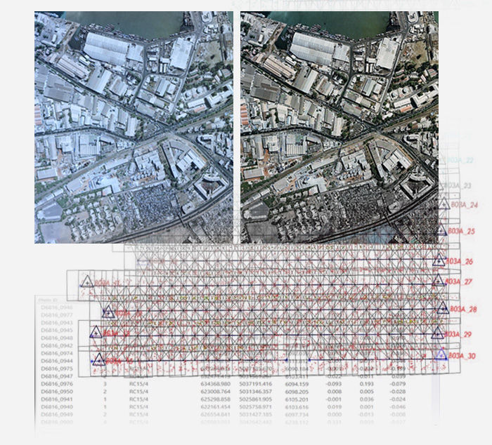
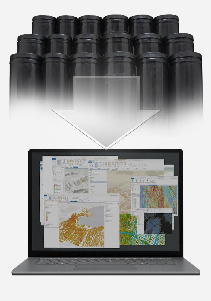
GeoDyn’s aerial film scanning and georeferencing services efficiently transform archives of photogrammetric films into valuable temporal imagery layers for visualization and analysis. We enable you to preserve the heritage of a country and create information layers to help make better decisions.
Aerial films collected over the past 100 years contain the only non-refutable record of the development of the Earth, defining:
- What was where and when
- What changed
- Trends to better predict the future
Traditionally the scanning and georeferencing of aerial films was too slow and expensive. GeoDyn's technology enables you to quickly and cost efficiently digitize and gain access to the wealth of information stored in aerial films archives.
Geographic information systems (GIS) provide valuable information and decision making tools for environmental resource management, city planning, transportation and utilities organizations. These organizations need to evaluate past events so as to understand the present and better predict the future. GeoDyn helps organizations to incorporate time as the fourth dimension in GIS.